Transforming Geospatial Data into Strategic Advantage
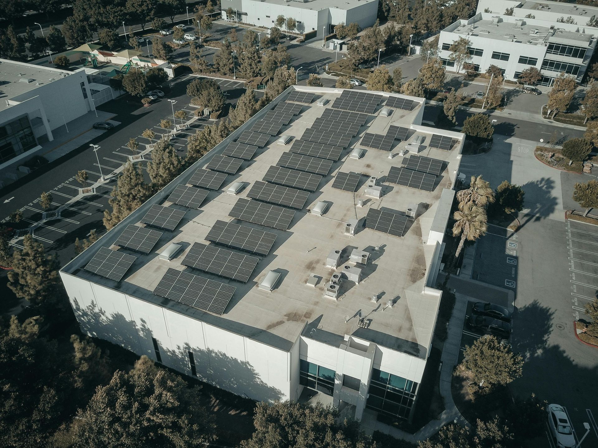
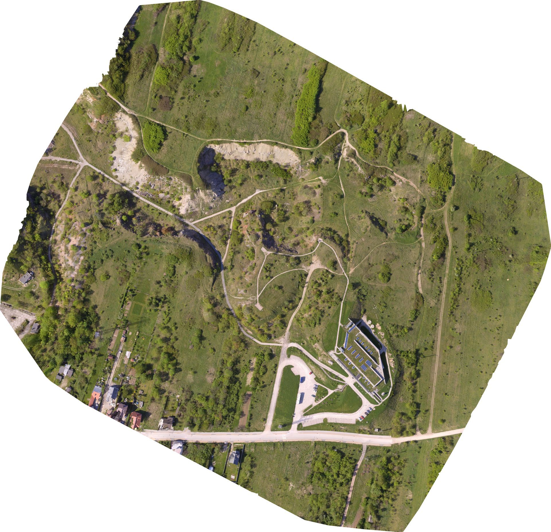
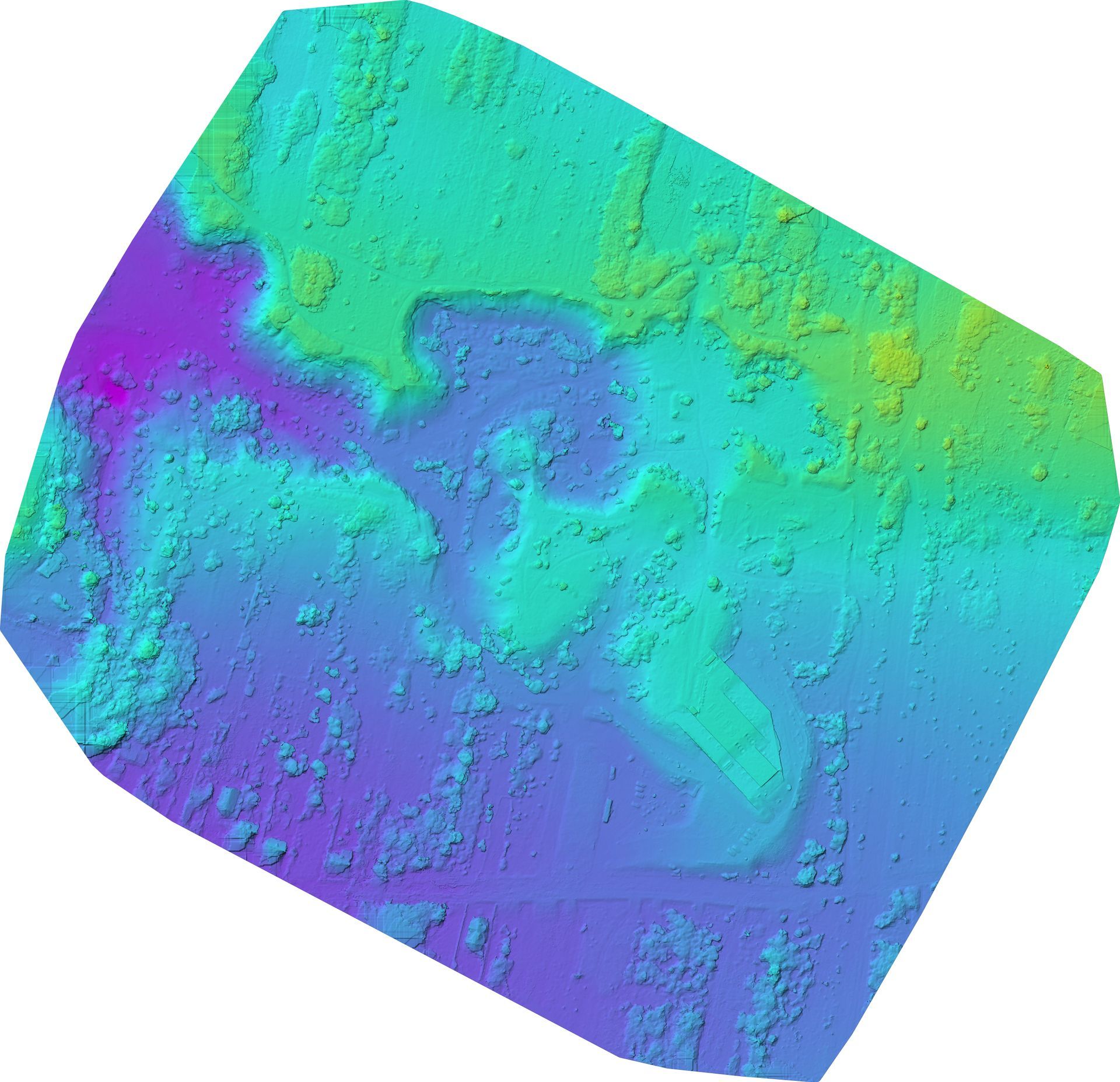
With our expertise in LiDAR, 3D imaging, and 2D orthomosaic mapping, we offer unparalleled precision in showcasing your property. Our solutions integrate the latest in visualization technology to create immersive, detailed representations that bring every aspect of your property to life. From the meticulous surveying to the final presentation, our approach ensures a seamless, transparent experience, empowering you to track the progress every step of the way. Elevate your properties and captivate audiences with our comprehensive imaging services.
Hours
- Monday: 9AM - 5PM
- Tuesday: 9AM - 5PM
- Wednesday:
9AM - 5PM
- Thursday:
9AM - 5PM
- Friday: 9AM - 5PM
Service area
Riverside, Orange, San Bernardino, and San Diego County
Contact
(833) 356-5922
info@ZestAnalytics.biz
Our services
2D Mapping
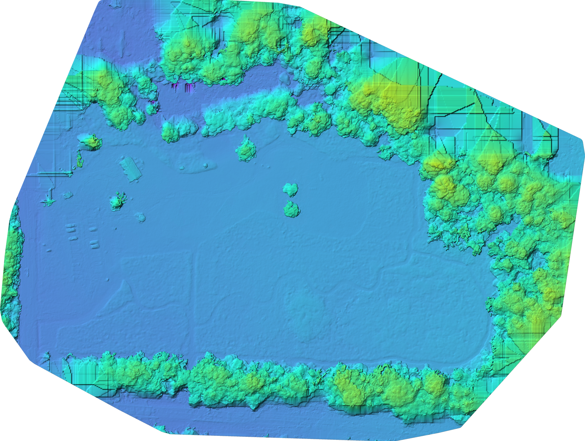
Experience detailed aerial insights with our 2D mapping services. Ideal for landscape analysis, property boundary disputes, and agricultural planning, our maps provide you with accurate, high-resolution imagery to support informed decision-making.
3D Mapping
Discover the power of precision with our 3D mapping technology. Perfect for architects, engineers, and developers, our 3D models offer an immersive perspective, facilitating design, construction planning, and project visualization.
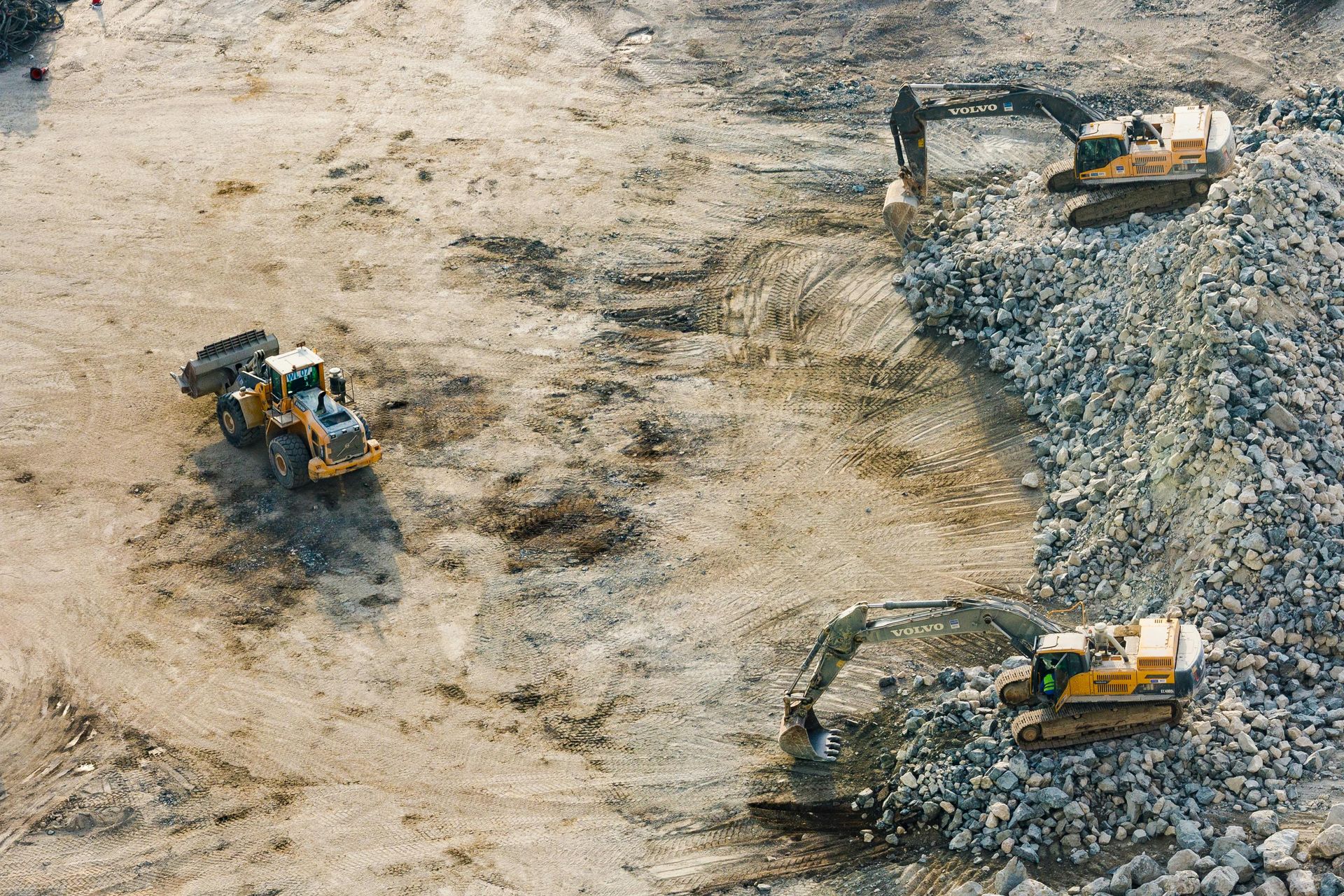
Construction
Maintenance
Stay ahead of structural concerns with our services. We provide thorough aerial inspections to detect potential issues early on, ensuring the longevity and safety of your projects while optimizing your maintenance schedule.
“Very fast lead time, helped us map out our 56 Acre Project here in Anaheim Hills "
CHI Construction
“Zest made the 3D tours and photos for my real estate listings so easy for me and my husband"
Harley Baker
“Honest and reliable service. Quick and friendly too. I would not hesitate to recommend this team for any job."
Antony Sacks
News & Blog
